|
|
Ancaster History
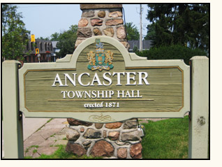 The original Ancaster is found in Lincolnshire, England and is named after a military camp from Roman times (see http://www.roman-britain.org/places/ancaster.htm) from the latin castra = camp. The original Ancaster is found in Lincolnshire, England and is named after a military camp from Roman times (see http://www.roman-britain.org/places/ancaster.htm) from the latin castra = camp.
Ancaster’s history stret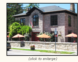 ches back over 200 years. The town was given its name in 1793 by Lieutenant Governor John Graves Simcoe after it had been surveyed as part of a plan to create roads for military reasons. ches back over 200 years. The town was given its name in 1793 by Lieutenant Governor John Graves Simcoe after it had been surveyed as part of a plan to create roads for military reasons.
Several families, wanting to maintain their loyalty to the British Crown, had already settled in the area after fleeing from the United States. These United Empire Loyalists claimed land in Upper Canada (Ontario) and many received grants of land in Ancaster.
Ancaster is the home of several historically significant sites. In 2008 the Historic Sites and Museums Board of Canada designated Ancaster’s Griffin House a National Historic Site. The Griffin House stands as a testament to the brave men and women who travelled the Underground Railroad to freedom in Canada in the 19th century.
The boundaries of Ancaster, which contain an area almost triangular in shape, were defined in the late 18th century.
- The southwest boundary was formed in 1785. After the American Revolution, the British Crown granted land to l
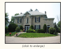 oyal Indians who had been unseated from their historic homes in New York State. This land stretched six miles on either side of the Grand River, and the southwest boundary of Ancaster formed part of the “Indian Line.” oyal Indians who had been unseated from their historic homes in New York State. This land stretched six miles on either side of the Grand River, and the southwest boundary of Ancaster formed part of the “Indian Line.”
- The eastern boundary was formed in 1788 when it became the western boundary of Township Number Eight (Barton), the survey of which was completed in that year.
- The northern boundary was formed in 1793, when the newly appointed Lieutenant Governor of Upper Canada ordered a military road to be built in a straight line to the LaTranche River (now the Thames), starting in the northwest corner of Barton Township. This road is now known as Governor’s Road.
You can see a map of old Ancaster at http://digital.library.mcgill.ca/CountyAtlas/SearchMapframes.php
Search on Township of Ancaster for a broader map, or Town of Ancaster for a smaller map of the immediate area around Wilson Street and details of some residents.
|
